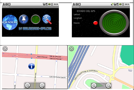
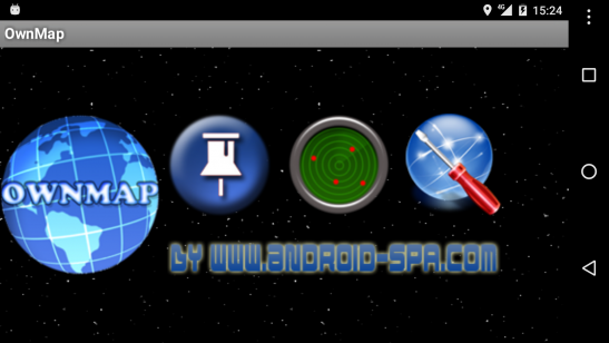
This is my first Android project in collaboration with a friend. We showed it at the first Google Android Pizza night in Madrid. The application allows you to create any sort of map to view it offline. A big image is cut in pieces using a PC application, all the small images and a file describing the content must be uploaded to the app for it’s further visualitation. The application still available today in Google Play after 7 years.
Release date
May 2009
Features
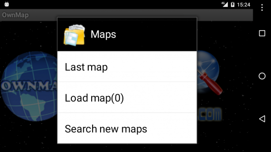
Offline map viewer
All kind of maps
PC tool to make the maps from a single image (JPG, PNG…)
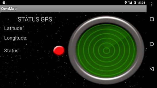
GPS geolocalization
Technology
Software development Kit: Android SDK 1.6
Programming language: Java
IDE: Eclipse
Android database: SQL Lite